1

 Manning Park BC Wed Sep 12, 2012 2:44 am
club_c
Life time member

The temperature is cooling off in western Canada, though we still have glorious weather. I wanted to get up to the Alpine Meadows at Manning Park in BC before the rains set in. This area is about 1 1/2 hours from my house. It is as great semi wilderness area with a ski resort, and awesome camping at Lightning Lakes, Loon Lake, and others. Tremendous hiking trails as well. A twisty Highway 3 (which is a 2 and 4 lane road) takes you up there and well beyond if you wish.
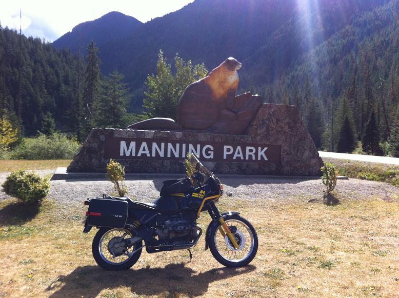
The elevation tops out at about 1350 meters on the main roadway, but other points off the main road get higher. The ski area summit is 1789 meters. A couple of pix of the road to the ski area:
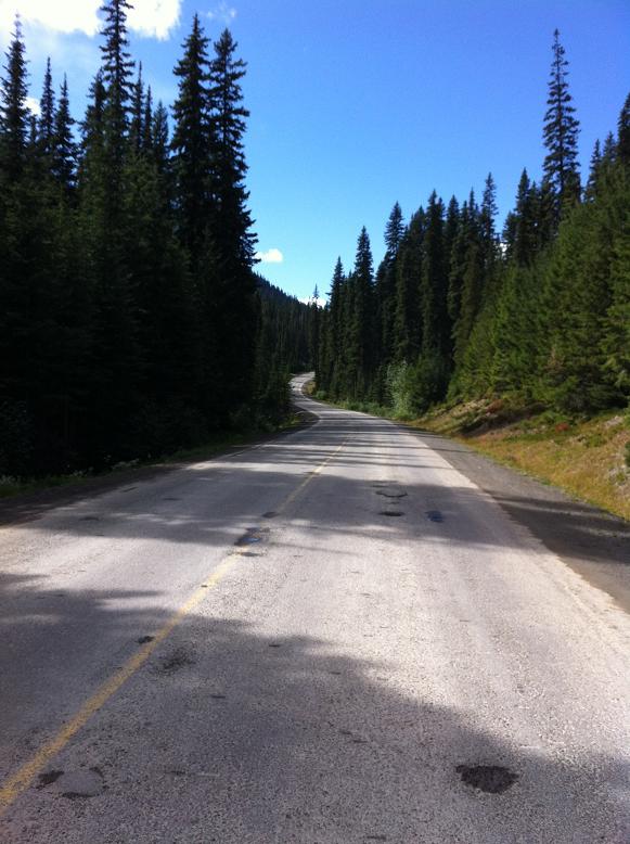
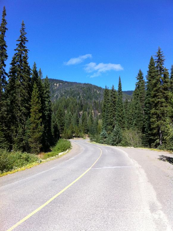
Turn around and go back down and cross Highway 3 and you are on your way up to the Lookout and Alpine Meadows. On my way up this side I was briefly paced by a coyote on the shoulder of the road. No match for das bimmer. Lots of grouse on the side of the road, and a 3 year old doe scampered away as I approached. I kept a keen eye out for her friends! Maybe the deer whistle on the GS was of use??
Here is a sign only a motorcyclist can truly appreciate:
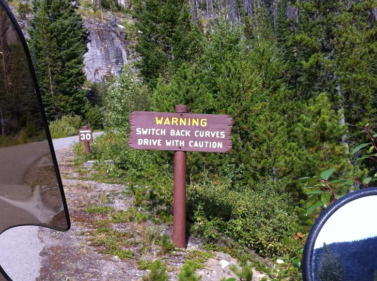
And here is part of what the sign was warning about:
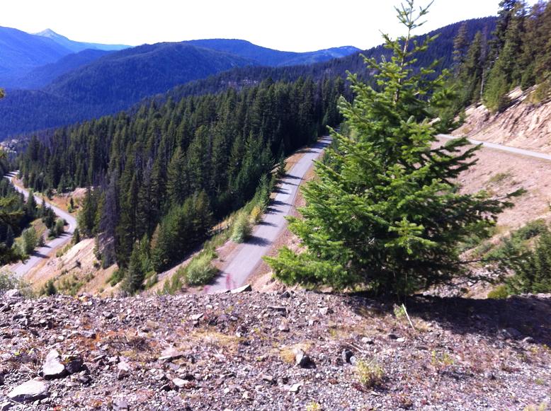
The road to the Lookout is paved and twisty. To this point any cage will get you there.
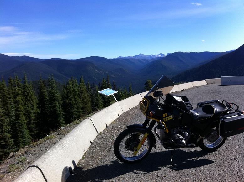
From here you climb further into the stunted pines on a washboard/corduroy gravel road, that had my full bladder crying for mercy. Another 7 kms takes you to the top (1963 m?).
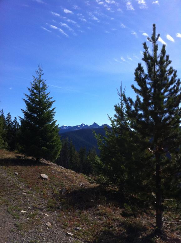
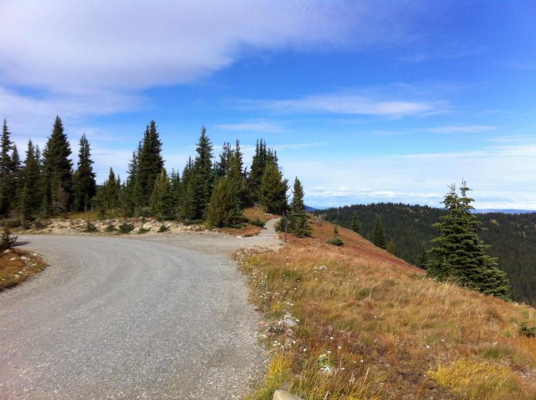
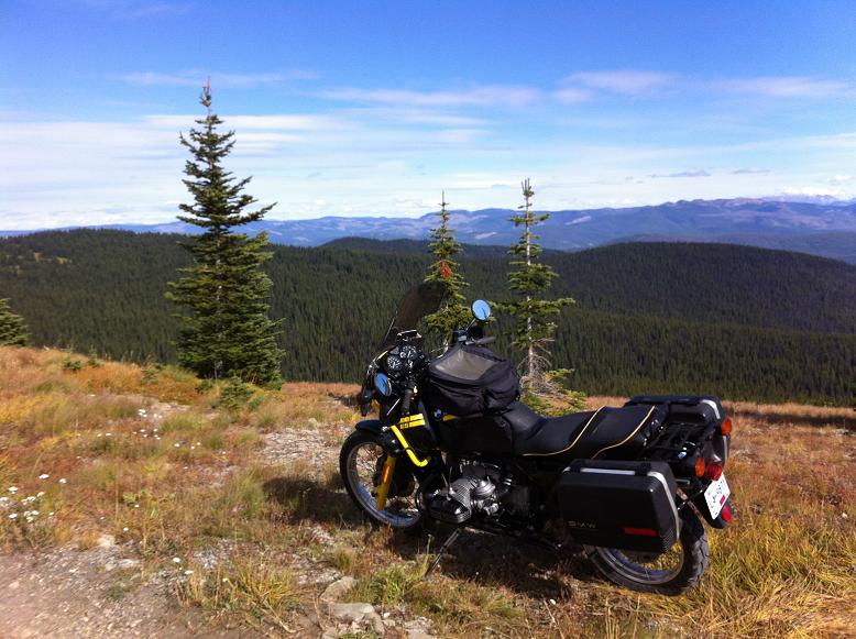
Can your see where the 21st Century has encroached on these areas?:
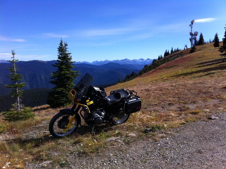
About 280 kms return. There is a nice restaraunt at the resort for a refreshing lunch. I wish I had more time to hike the trails today, but got off to a late start, so left with a promise to return and do some walking. The GS purred along without complaint, and with the gigantic Parabellum windshield, it was pretty quite back there too. The temperature dropped rapidly as I gained elevation, but I had thought ahead and was able to 'double glove'. This is a recommended ride for anyone in the area!
Next up: Mt. Baker (I hope!)

The elevation tops out at about 1350 meters on the main roadway, but other points off the main road get higher. The ski area summit is 1789 meters. A couple of pix of the road to the ski area:


Turn around and go back down and cross Highway 3 and you are on your way up to the Lookout and Alpine Meadows. On my way up this side I was briefly paced by a coyote on the shoulder of the road. No match for das bimmer. Lots of grouse on the side of the road, and a 3 year old doe scampered away as I approached. I kept a keen eye out for her friends! Maybe the deer whistle on the GS was of use??
Here is a sign only a motorcyclist can truly appreciate:

And here is part of what the sign was warning about:

The road to the Lookout is paved and twisty. To this point any cage will get you there.

From here you climb further into the stunted pines on a washboard/corduroy gravel road, that had my full bladder crying for mercy. Another 7 kms takes you to the top (1963 m?).


Can your see where the 21st Century has encroached on these areas?:

About 280 kms return. There is a nice restaraunt at the resort for a refreshing lunch. I wish I had more time to hike the trails today, but got off to a late start, so left with a promise to return and do some walking. The GS purred along without complaint, and with the gigantic Parabellum windshield, it was pretty quite back there too. The temperature dropped rapidly as I gained elevation, but I had thought ahead and was able to 'double glove'. This is a recommended ride for anyone in the area!
Next up: Mt. Baker (I hope!)
__________________________________________________
"There's never enough time to do it right, but there's always time to do it over."
1988 K100RS SE VIN 01477554


