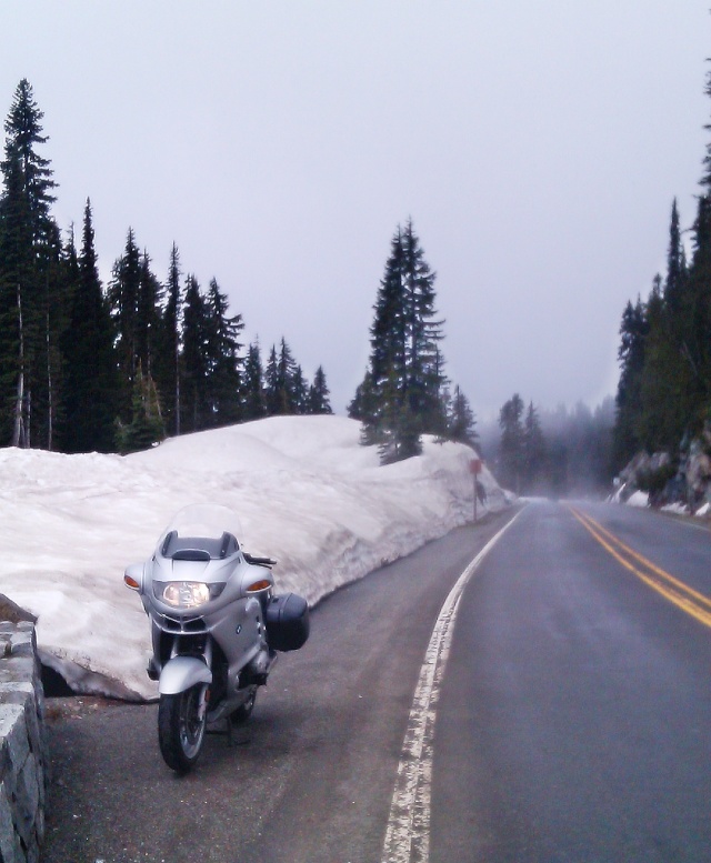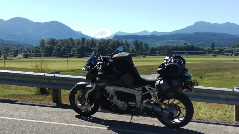
Highway 410, just West of 14,411 ft (4,392 m) Mt Rainier (ray-NEAR), near Greenwater, Washington

Near Lake Tipsoo, going up Chinook Pass from Cayuse Pass.

The view down the American River valley along Highway 410 from Chinook Pass summit, towards Naches, Washington

The 10.00AM, mid-June sun wants to break through atop snow-covered Chinook Pass

Your humble host takes a 'selfie' break atop Chinook Pass. Aussies and 5 metre-high snowbanks somehow just don't add up.

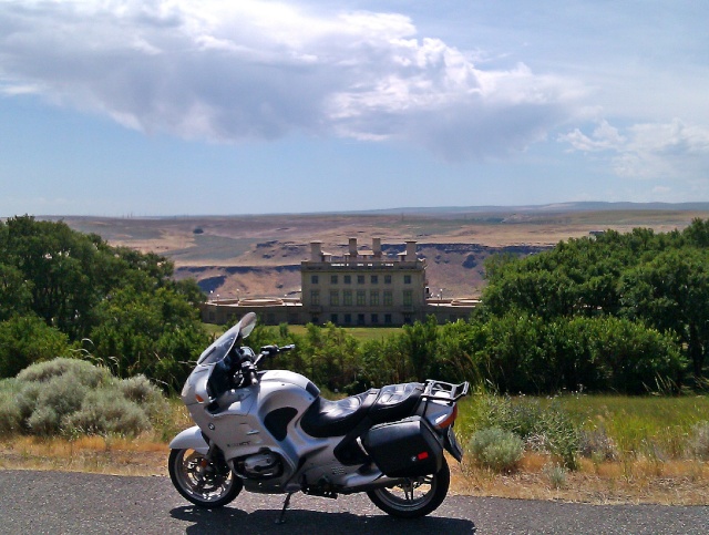
A`'Point of Interest' sign overlooking the valley below Horse Heaven Hills, near Prosser, Washington

Out of the Cascade Mountains and on to the high plains. Highway 221 above the fertile fruit, wine and veg-producing region around the Yakima Valley of Washington

On the first day's ride it was hard to escape marauding downpours rolling in from the West, above the Columbia River Valley near Columbia Crest Winery
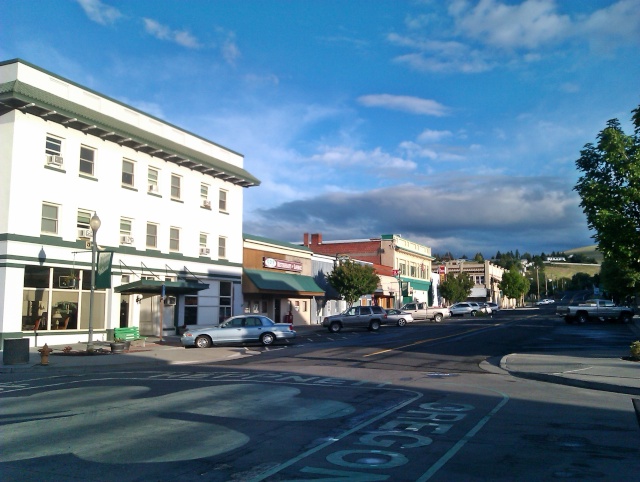
The town of Heppner, Oregon, where I stayed the first night out, considers itself lucky as seen in the foreground painted on the street.

Heavy, dark clouds and further impending rain made the quaint Northwestern Motel in Heppner my first night's stopover.

Friendly people, pickups, guns and Jaysus reign here. Gideon checked out, and left some reading material, no doubt, to help with a good rider's revival.

Willow Creek Dam & Res, near Heppner, Oregon

A rider can average a decent clip out here on these roads, most of which are well-paved and smooth. I rode often at 65 to 80 mph where the posted limit was 55 mph, and still achieved 46-48 MPG (US gallon = 4 quarts/litres). Premium fuel, sometimes without ethanol, is readily available. I saw few coppers.

Open range and rolling farm and grazing lands means livestock, deer, elk and antelope at any moment. I saw heaps but ever alert, never made contact. I did spot a great bald eagle sitting in a dying cottonwood tree along the banks of the creek, focusing on prey below.

Rolling along out of the Cutforth Forest on NF53 towards Ukiah, Oregon
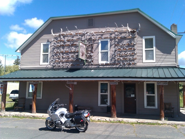
The 'Antler Inn', off Highway 395 in Ukiah, Oregon
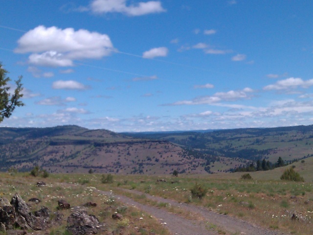
Splendid isolation in North-Central Oregon, on a summit of about 4500 feet, over three hours from a city of any size.

My numbers came up...
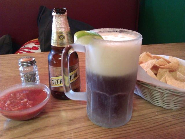
A mid-day break under sunny, warm skies of about 30c degrees (86f) saw me sit down with a frosty glass, chips and salsa and a plate of chiles rellenos (literally, re-stuffed chilis) but they were made by a young Mexicano for the average gringo's taste buds and were simply chiles (only spelt with one L otherwise it wouldn't be pronounced 'chili') with a simple egg omelet over them, and zero spice - nothing 'stuffed' about it. I've eaten my fair share of autentica comida Mexicana over the years and have developed a taste for the real stuff. The Negra Modelo cut through, however.
Meanwhile, next day at the rally site...

Aeroflow windscreen with NACA duct on a very clean K100RS

Black K-RS with a very cool homemade windscreen spoiler and adjustable bracketry for various travel farkles. See next piccie too.

The benefits of access to a lathe...?

For sale, clean, low miles, USD$3750!

Sweet li'l K75RT
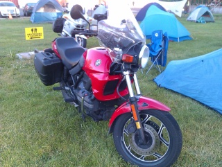
K75 standard with touring 'screen

K75S
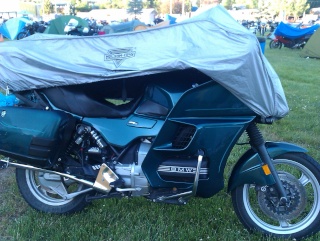
A tidy LT...
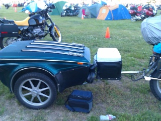
...with trailer.
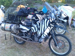
US bike rallies get all manner of bikes and people. These folk rode in with a standard poodle aboard, on two funky Katooms.
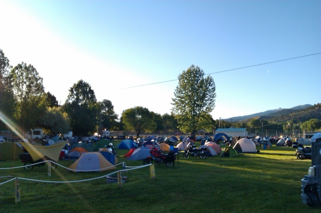
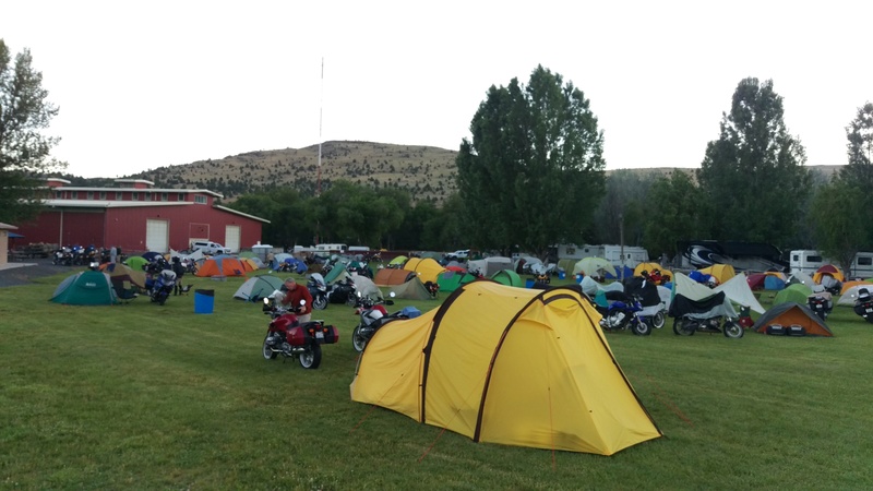
Saturday morning, at about 6.00AM, 2c degrees and it would rise to 30c (86f) during the arvo. About 450 riders attended, this is just one corner of the site.
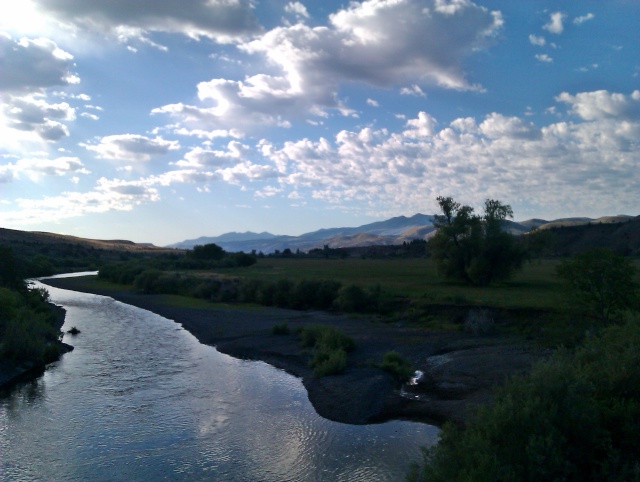
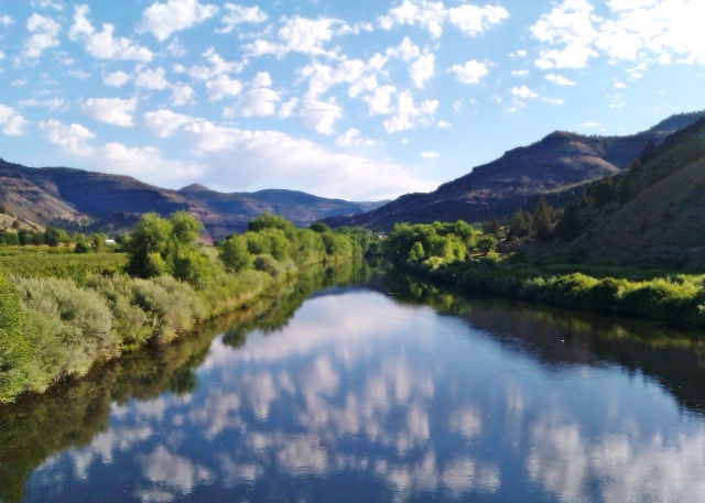
The John Day River looking East at dawn on Sunday at the beginning of the ride back towards home.

The Sheep Rock region of the John Day Fossil Beds National Monument.

Freshly cut hay bales, long, sweeping turns and awesome, breath-taking views.
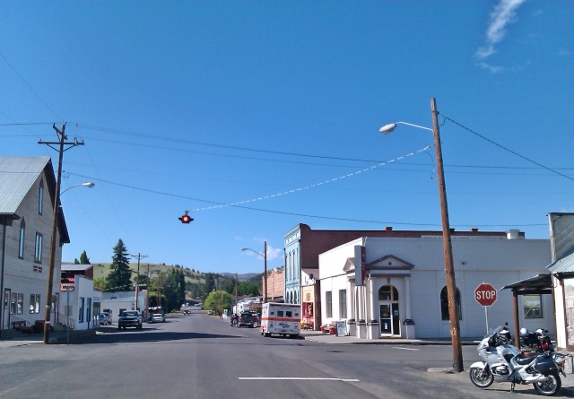
Small towns are infrequent but about every 50 miles or less. Here's Fossil, where I often stop for brekky. A 'Mudders' convention was in town. Naturally I assumed that meant a bevy of raised pickups with mud tyres all covered in debris. I was wrong. It's a group of hardy (and hard) folk who bushbash, run, swim through rivers, crawl over open ground and generally beat themselves up a bit in an endurance run. I saw young women with bigger arms than me and middle-aged men who looked like they had never stopped doing sit ups. I nibbled at my hearty country brekky and rode away making a promise to myself to eat less and exercise more. Pass me another beer, would ya!

A swayback piece of history at the side of the highway. Rural Oregon near where the Oregon Trail passed through. Think Conestogas piled high with the accumulated possessions of hardy folk; men walking alongside, longrifles slung low across their forearms, barefoot children, ladies in bonnets at the reins, and the nighttime circling of the wagons. All looking for a better life in the far West, Oregon country

Near Biggs Junction, Oregon.

Highway 14 rolls smoothly along up high and then down low next to the mighty Columbia River on the Washington side. This view is looking West towards Mt Hood in the distance.
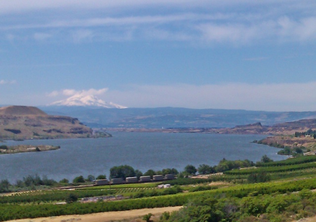
Wineries and fruit orchards, windsurfing, skiing, mountaineering, railways and the meandering river which Lewis & Clark paddled down on their 1804-1806 trip. These are some of the varieties of industry and recreation in this region. It's an awesome place to ride through.
I covered about 2000+ miles (3200 kms) through Washington state and Oregon over the course of Thursday through Monday. The bike was flawless, as they quite often are, though it has covered 112,000 miles now (180,000 kms) and is nine years old. It returned great mileage and was comfortable to sit on for eight, nine hour days in the saddle. I added no oil to the sump.
If any of you mob wish to ride here I have a spare bedroom near Tacoma, Washington, and a secondhand bike for your riding pleasure. The best months of the year to ride here are May through late-October, although many mountain passes aren't open due to snow until as late as early July.
All of the photos shown here were taken by me on my four-year old cheapie HTC Android phone and filtered through Photoscape on my laptop.
I hope you've enjoyed the pictorial-travelogue.


 Fife, Washington to John Day, Oregon (and back). Thu Jun 13, 2013 2:09 pm


