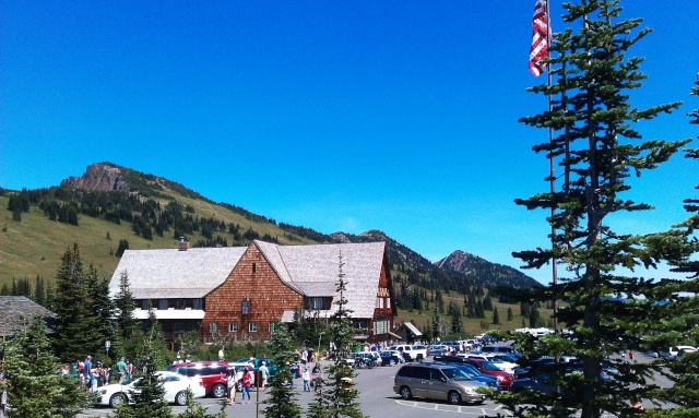
1

 My Monday Mountain Meander Mon Aug 04, 2014 10:36 pm
Two Wheels Better
Moderator

I started off down the road on the Mighty K not particularly early. The crack of dawn was too soon, the crack of noon too late, so it was somewhere in the middle. The sun was blazing as it has been for a few weeks round here. It was gunna be 90 and above (33c) on the other side of the mountains.
Link to a satellite map of Mt Rainier and the 'neighbourood
The idea was to head in an anti-clockwise direction South on highways 7 and 12, below Mt Rainier, east over White Pass, down through the deserty dry lava bits along the Tieton River to Naches, then westerly back up highway 410 along the American river, over Chinook Pass, then down the mountain on the mossy green tall tree side to Enumclaw and on towards home near Tacoma. Google maps said it was aroundabout 275 miles (437 kms). I had all day. The terrain would vary from lowland fertile farmland, dense pine forests to sub-alpine 5,000+' passes, some with patchy evidence still of last Winter's snow.

Alder Lake near the town of Elbe, Washington.

Between the small towns Randle (gateway to Mt St Helens) and Packwood you catch a glimpse of the majesty of Rainier.

The Cowlitz River flows silty grey from glacial melt.
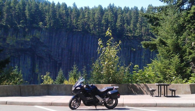
The Palisades, a lava flow that cracked into vertical tubes when it came into contact with a glacier 2 million years ago, along highway 12. heading up White Pass.

The view round some corners is better than others...
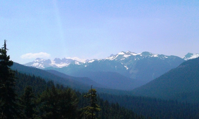
Heading east on 12 before arriving at White Pass.
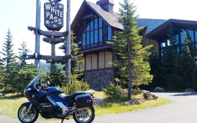
The ski area lodge, boarded up for Summer, at White Pass.

The bright green waters of Dog Lake contrast the blue sky.

Clear Creek Falls.

I smiled and said to her 'nice curves', and she didn't slap my face!
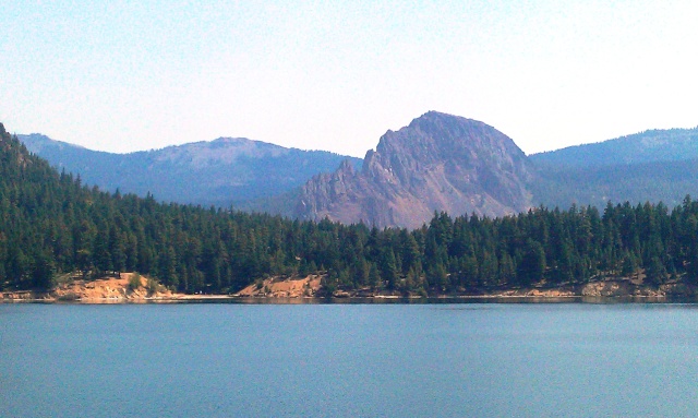
Rimrock Lake

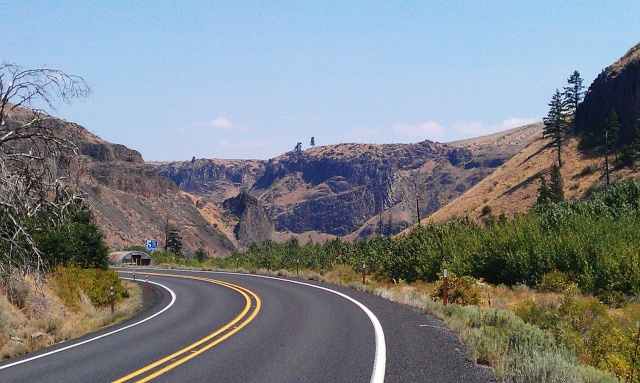
The dry side.

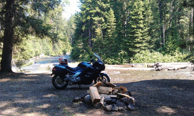
A good spot to camp (next time), plenty of firewood, fly fishing, and a river runs through it.

The American River. Freezing cold in the 97 degree heat!
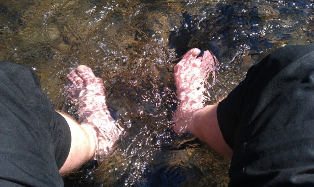
Cold water, hot day, white boy, pink feet.

Heading back up the hill.
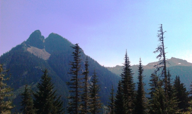
The back side of the national park. There's still some snow in them thar hills.
Looking back down from Chinook Pass. The late and heavy Winter snow caused a landslide which covered the road. It's down to one lane and can be seen mid-photo.


The Pass. The footbridge is for hikers.

The pièce de résistance, 14,500' tall Mt Rainier, in full glory and sunlight! Lake Tipsoo is in the foreground.
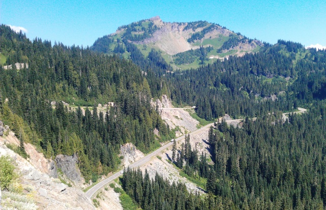

Heading west towards Cayuse Pass on highway 410. It's a tamer version of the Alps with smoothly-paved, gorgeously descending twisties.

The view to the South towards Mt St Helens, the Columbia River, and further on still, Oregon, late arvo.
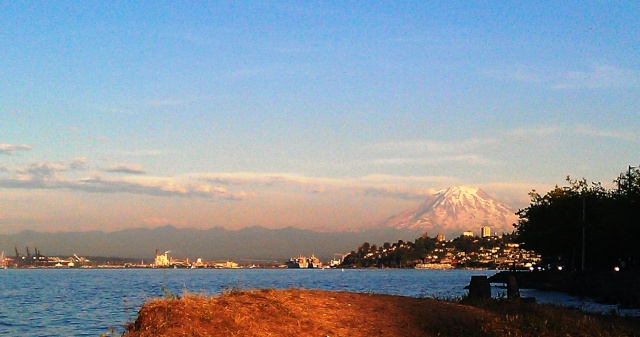
Looking back as sunset approaches over the docks at Commencement Bay, the city of Tacoma, and the mighty mountain. The native Americans idolised this and the other nearby snowy peaks, and it's easy to see why.
In the end I covered an easy 268 miles, stopping to appreciate the beauty of the region, in a leisurely eight hours. The K did its job in exemplary fashion, as expected, and returned a fantastic 49 miles per (US) gallon. She's usually on 42 mpg at best when I'm caning her to work and back.
Back to work tomorrow, and in other news, I've just located excellent plane tix back home to OZ via Hawaii on the 12th of September! The beloved red K is gunna get some TLC, a belly pan, a new fuel pump and related bits, and a right good flogging down to Victoria and back to visit rellies. I also hope to catch up with a few OZ Kaymates while home.
What a day!
Link to a satellite map of Mt Rainier and the 'neighbourood
The idea was to head in an anti-clockwise direction South on highways 7 and 12, below Mt Rainier, east over White Pass, down through the deserty dry lava bits along the Tieton River to Naches, then westerly back up highway 410 along the American river, over Chinook Pass, then down the mountain on the mossy green tall tree side to Enumclaw and on towards home near Tacoma. Google maps said it was aroundabout 275 miles (437 kms). I had all day. The terrain would vary from lowland fertile farmland, dense pine forests to sub-alpine 5,000+' passes, some with patchy evidence still of last Winter's snow.

Alder Lake near the town of Elbe, Washington.

Between the small towns Randle (gateway to Mt St Helens) and Packwood you catch a glimpse of the majesty of Rainier.

The Cowlitz River flows silty grey from glacial melt.

The Palisades, a lava flow that cracked into vertical tubes when it came into contact with a glacier 2 million years ago, along highway 12. heading up White Pass.

The view round some corners is better than others...

Heading east on 12 before arriving at White Pass.

The ski area lodge, boarded up for Summer, at White Pass.

The bright green waters of Dog Lake contrast the blue sky.

Clear Creek Falls.

I smiled and said to her 'nice curves', and she didn't slap my face!

Rimrock Lake

The dry side.


A good spot to camp (next time), plenty of firewood, fly fishing, and a river runs through it.

The American River. Freezing cold in the 97 degree heat!

Cold water, hot day, white boy, pink feet.

Heading back up the hill.

The back side of the national park. There's still some snow in them thar hills.
Looking back down from Chinook Pass. The late and heavy Winter snow caused a landslide which covered the road. It's down to one lane and can be seen mid-photo.


The Pass. The footbridge is for hikers.

The pièce de résistance, 14,500' tall Mt Rainier, in full glory and sunlight! Lake Tipsoo is in the foreground.


Heading west towards Cayuse Pass on highway 410. It's a tamer version of the Alps with smoothly-paved, gorgeously descending twisties.

The view to the South towards Mt St Helens, the Columbia River, and further on still, Oregon, late arvo.

Looking back as sunset approaches over the docks at Commencement Bay, the city of Tacoma, and the mighty mountain. The native Americans idolised this and the other nearby snowy peaks, and it's easy to see why.
In the end I covered an easy 268 miles, stopping to appreciate the beauty of the region, in a leisurely eight hours. The K did its job in exemplary fashion, as expected, and returned a fantastic 49 miles per (US) gallon. She's usually on 42 mpg at best when I'm caning her to work and back.
Back to work tomorrow, and in other news, I've just located excellent plane tix back home to OZ via Hawaii on the 12th of September! The beloved red K is gunna get some TLC, a belly pan, a new fuel pump and related bits, and a right good flogging down to Victoria and back to visit rellies. I also hope to catch up with a few OZ Kaymates while home.
What a day!

__________________________________________________
"How many cars did we pass today?" "ALL of them."
1977 R75/7-100, '93 K11/K12 Big Block, '93 K1100RS, '95 R100 Mystic, '96 K1100RS, 2 x '98 K1200RS, '06 K1200R & '09 K1300GT


